


Winter weather, snow possible for UK, Lexington this weekend
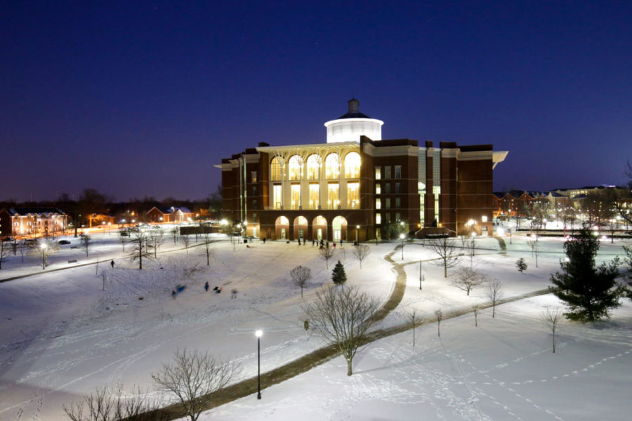
At the end of the first snow day of the semester, students sled down the sides of “the Bowl” outside William T. Young library on Jan. 16, 2018. Photo by Arden Barnes | Staff
January 11, 2019
Lexington is due for some winter weather this weekend, and most public agencies are asking citizens to stay off roads late Friday and early Saturday.
Two to four inches of snow are expected in the region, and the National Weather Service has placed the city under a Winter Weather Advisory from 10 p.m. Friday to 11 a.m. Saturday, according to UK Agricultural Weather Center Chief Meteorologist Matthew Dixon.
“Lexington is in a spot where we would more likely fall on the lower end of that (two to four inch) range,” Dixon told the Kernel. “Most snow accumulations look to occur late in the overnight, after midnight. Much higher totals are forecast for areas mainly north of the Ohio River.”
Dixon advised people to stay indoors Friday night and Saturday morning, as there will likely be slick roads and limited visibility at times. Temperatures on Saturday are expected to top out in the mid 30s, while “will help mitigate impacts.”
Crews will be out pre-treating roads on Friday, the city government stated in social media posts on Friday. Salt will be spread on roads throughout the night.
“Don’t expect temperatures back in the 60s anytime soon,” Dixon wrote in an email, in reference to last week’s warmer-than-usual temperatures.
Temperature highs should be in the 40s next week.