


Students help Kenton Co. in preservation project
March 20, 2008
A group of landscape architecture students is using lessons learned in the classroom to save time and money for Kenton County, Ky., with hillside development plans.
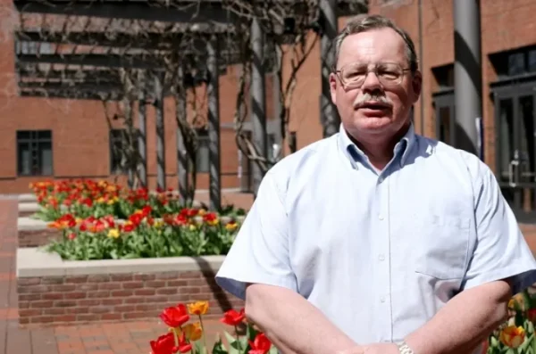
The 14 students began the project in January as a requirement to graduate from the architecture program and are working with the Northern Kentucky Area Planning Commission to help develop ideas and provide solutions for hillside development, said Brian Lee, assistant professor of landscape architecture.
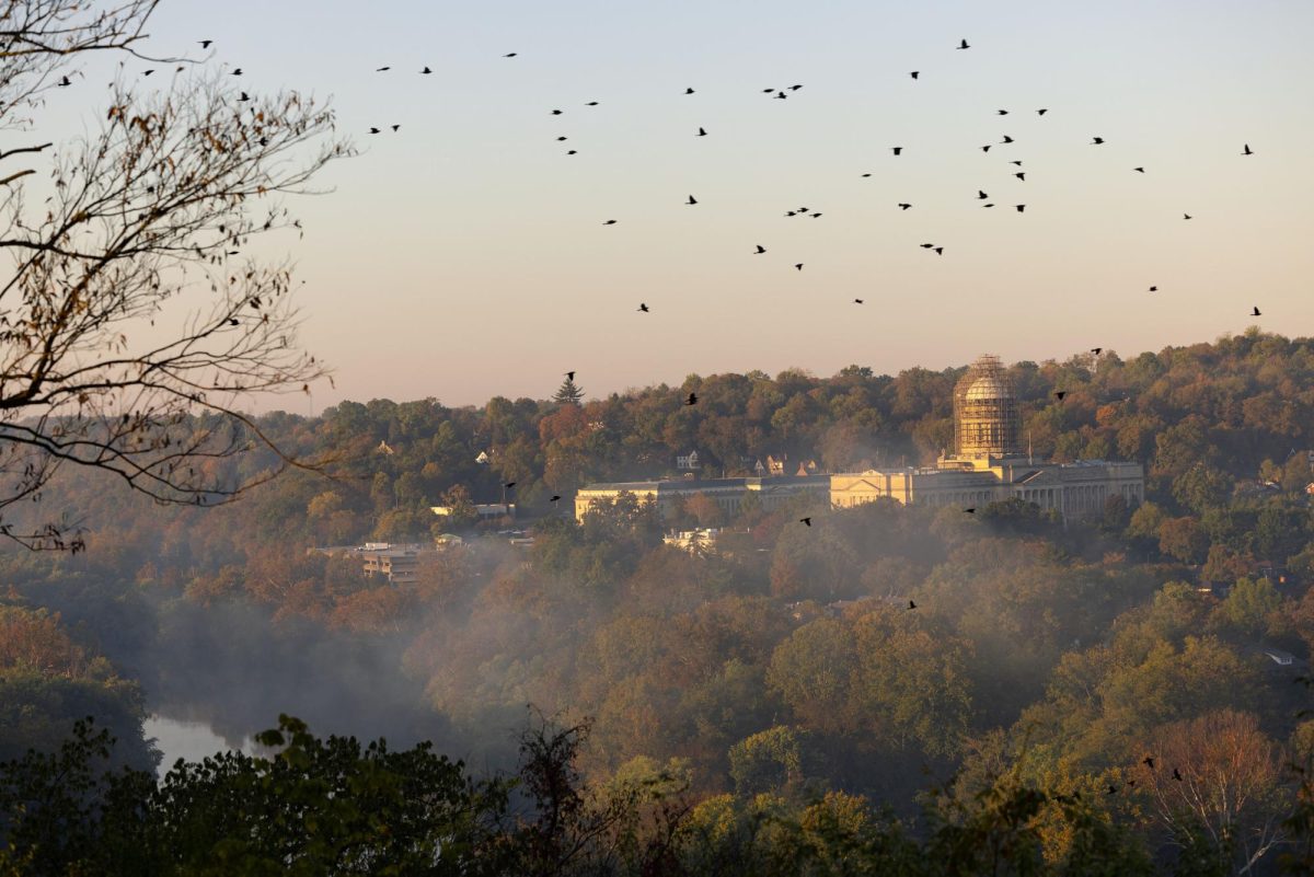
Hillside development is the destruction of hills for building purposes, most commonly for residential housing and commercial operations, said Marc Bond, student working on the project.
“This project is liberating in a sense that the students can grow and develop their own ideas,†Lee said. “They have the opportunity to think big and about how they can alter a community’s environment. Their interests are being used to benefit others.â€
Students met with community members yesterday to present ideas about how the community should address hillside development, discuss the project’s progress in small groups and share initial ideas, Lee said.
The four ideas the students presented included one maximum development plan (with the most possible development), a Leadership in Energy and Environmental Design (which is environmentally friendly and energy efficient), one preservation model (the plan most focused on preserving land) and another plan that displays the students’ creativity in their own design and ideas, Bond said.
“I am very optimistic that Kenton County will use the students’ ideas or modify them to fit the community’s needs,†Lee said.
All designs must take into consideration existing site conditions, current development trends and community demographics to influence how each design will work, said Bond.
Designs are not limited to the development of hillsides. The project also includes green infrastructure, such as parks, greenways and other needs determined by the community, Bond said.
“At the first meeting, we gave citizens a map of the county, and they put a sticker on the map to identify their area of concern,†he said. “They also had feedback cards and electronic response devices that could be used during the public lecture.â€
Students brought the data back to campus and began analyzing the information to identify the most common problem areas and create ideas to solve the community’s dilemmas.
“Results from the sticker map showed six key problem areas,†Bond said. “Using different criteria, we designed four development scenarios.â€
The citizens showed most concern for the areas they wished to preserve, Bond said. Other areas included hillsides that could potentially be turned into high rises and other forms of housing.
Emalee Listerman, principal planner for the Northern Kentucky Area Planning Commission, said using students as the idea generators for hillside development was a non-controversial approach to get information on the table.
“This is a very political area, so this a neutral way for the planning commission to get the issues out without people getting on the defensive,†Listerman said.
If led by a professional planner, the project would likely be pricey and require approximately four years work, but the students will have the project completed in 16 weeks free of cost, Lee said.
“This is a tremendous real-world, educational experience for the students,†Lee said. “They are applying everything they learned in the four and a half years prior to this course and becoming young professionals.â€